BESNJAJA (Lisin laz 613 m)
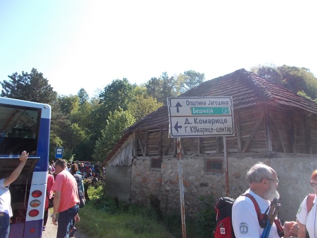
From Belgrade, drive by the highway via Mladenovac, Topola and Kragujevac. From the town of Kragujevac, drive for about 8 km to the village Bukorovac. Circular trail around Besnjaja starts at Bukorovac. Distance between Belgrade and Bukorovac is 122 km, ie., about 2 hours of drive. This sign marks beginning of the track:
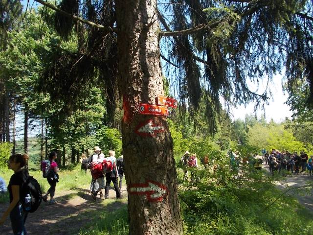
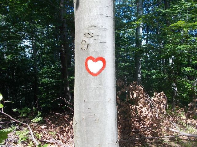
The trail is excellently marked, you can not go astray. At all important intersections, signposts points you in the right direction. Here, the longest trail (18 km) will be described. This trail leads via control points (KT): KT6-KT5-KT7-KT8-KT9. Total vertical climb is 760 m. To hike 18 km, you will need about 6 hours of normal walking.
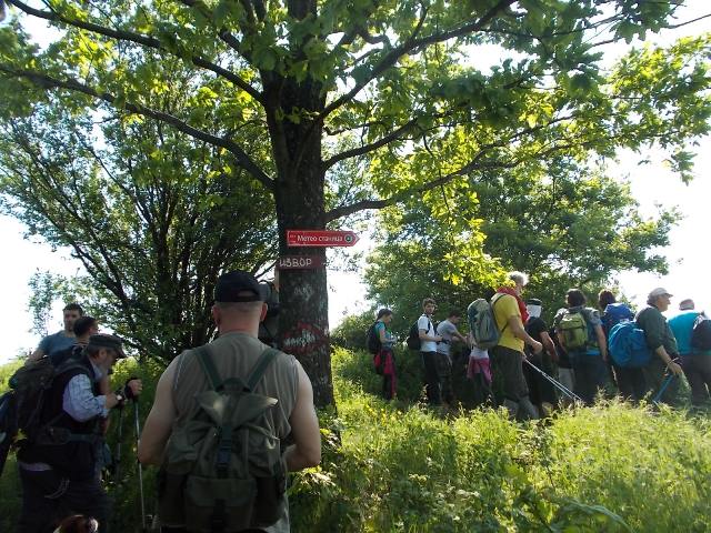
KT6 marks the mill in Bukorovac. Right at the beginning of the path, you must cross the stream and soon you will come to the first lookout.
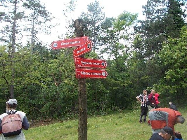
Soon you will see a signpost, which points toward meteorological station (KT4). Signs are written in Cyrillic letter, so it is better to follow the control points (KT). Although you will not go to the KT4, turn in the direction of KT4.
Now follow the signs toward Вољевица (KT5).
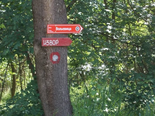
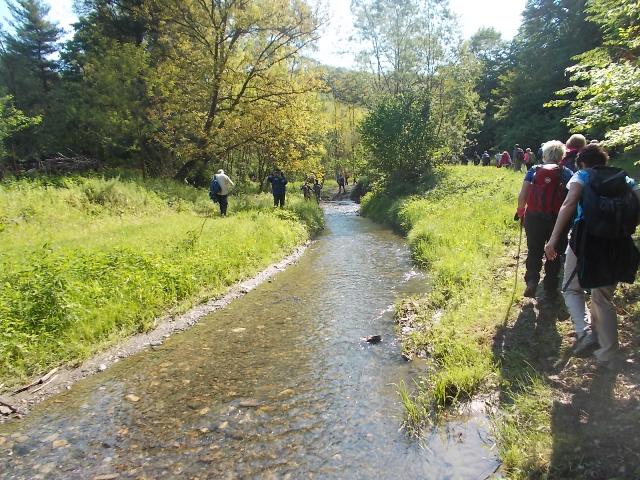
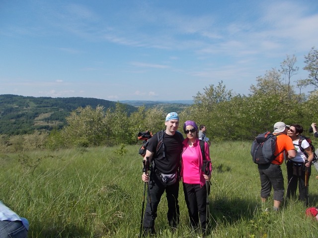
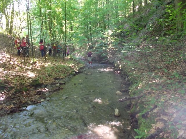
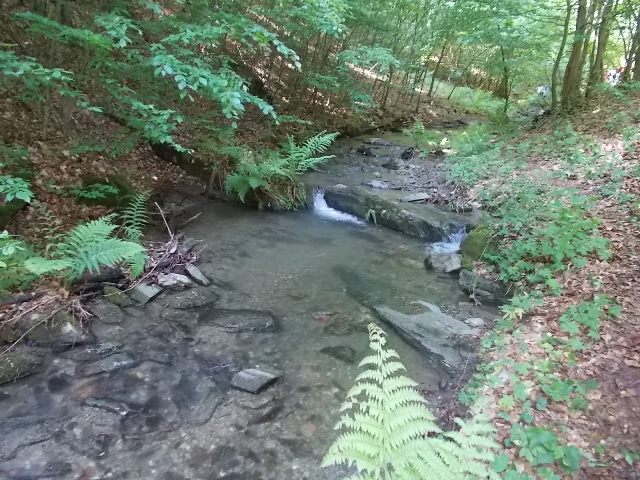
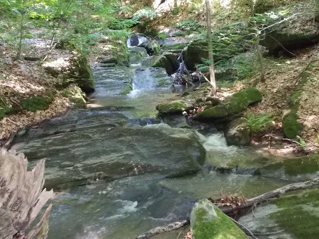
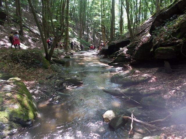
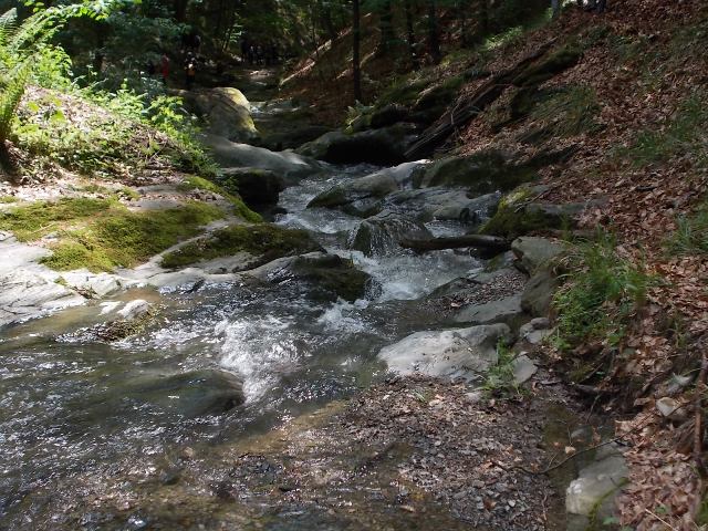
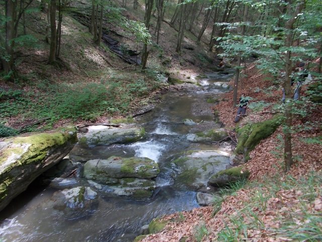
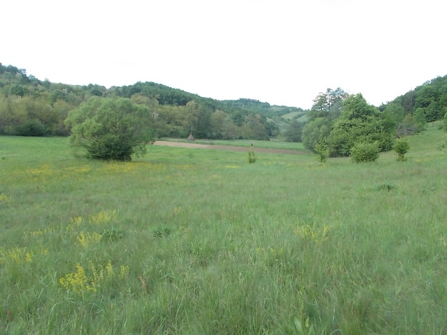
Soon you will descend into the canyon of river Voljevica (KT5). Hiking at Besnjaja does not provide a lot of interesting viewpoints. The main reason why you should make this circular tour, is the beautiful Voljevica canyon.
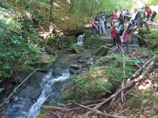
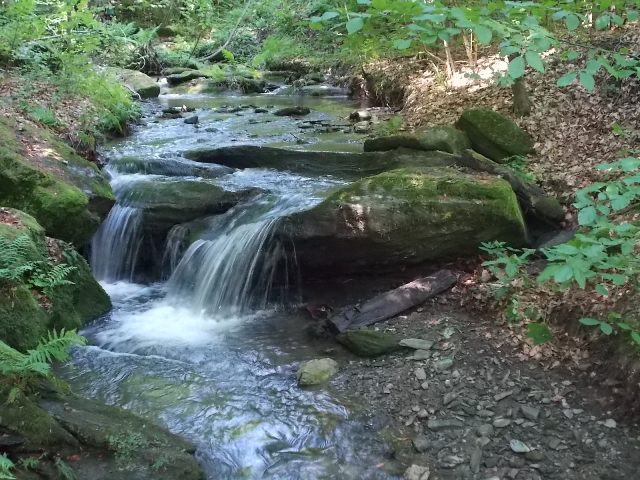
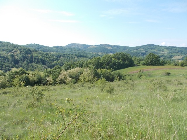
Voljevica canyon
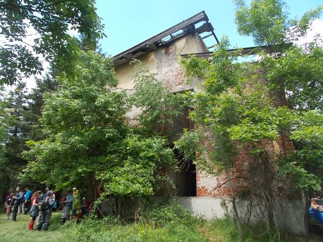
From the canyon, you will exit on a slope called “Sibovita kosa”. Soon you will come to the abandon resort.
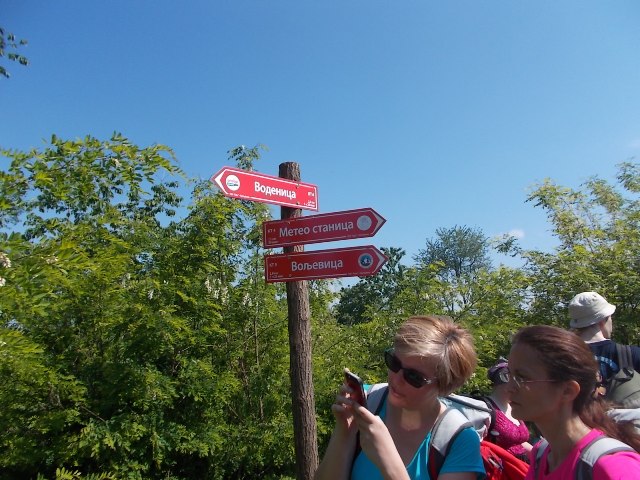
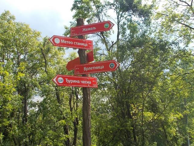
In front of the resort is a signpost which points in the direction of KT7, ie.,Ђурина чесма. Close to the KT7 is the highest peak of Besnjaja, Lisin laz (613 m). This peak is in the forest and the path to it is overgrown, so it is rarely visited.
After KT7, on the next junction, go toward KT8, ie., Врлетница.
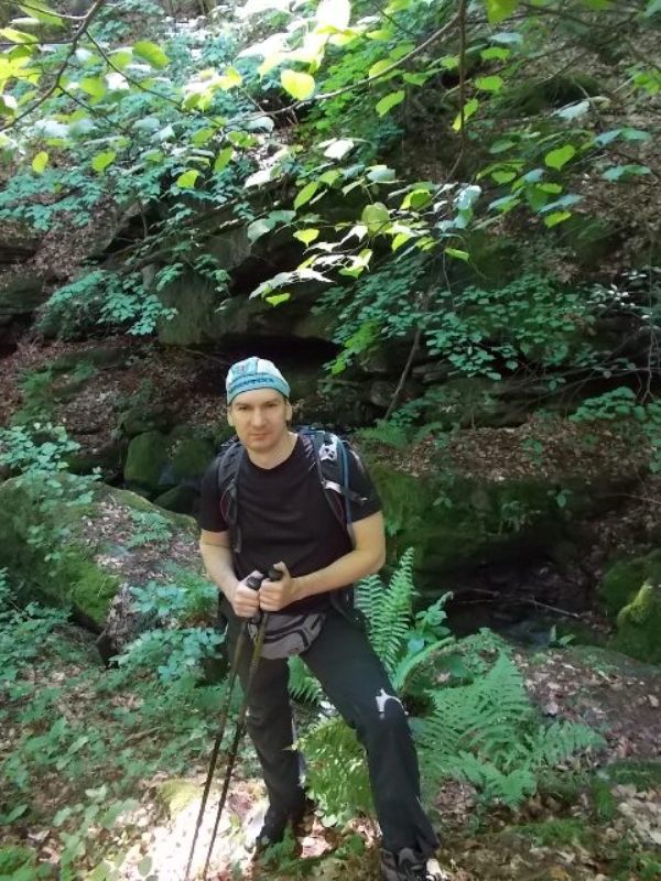
Besnjaja
From Врлетница, climb down toward endpoint, KT9. KT9 is a local school. About 300 m before school, you will exit on an asphalt road. Go left by this road, all the way to school.
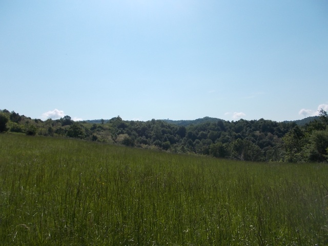
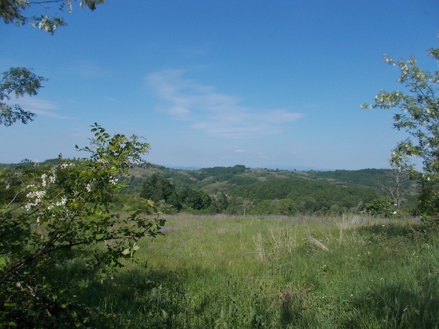
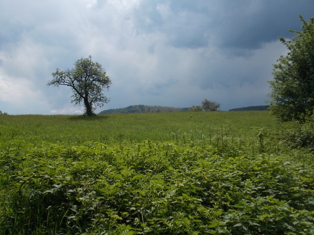
Unfortunately, this tour does not provide too many viewpoints, only a few, but not so interesting. The path is mostly gravel, surrounded by tall trees, that is the reason why you can not see the surrounding hills and valleys. Passing through the canyon of Voljevica is a real experience indeed, it is a “must see” if you decide to hike around Besnjaja.
May 2016.
")
")
")
-
Recent Posts
Blogroll
 Srbija na dlanu
 SVETOGORSKE TURE
 Jooble