SVRLJISKE MOUNTAINS (Visegrad 1040 m)
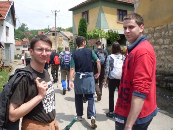
Svrljiske mountains have several interesting peaks. I will describe the climb to the peak called Visegrad. Distance bewteen Belgrade and the town of Svrljig is, approximately, 260 km. You must drive by the Belgrade-Nis highway and then exit at the turn for Zajecar. Just before Svrljig, turn toward the village of Oreovac (580 m). Marked path starts at this village.
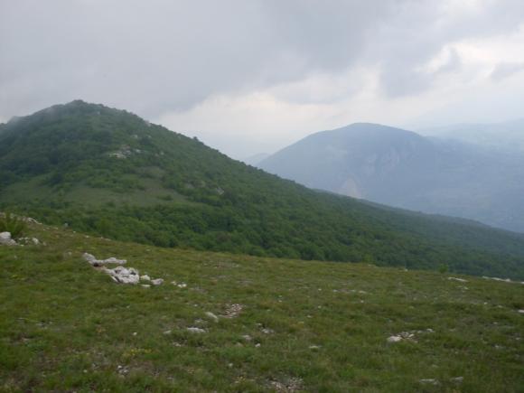
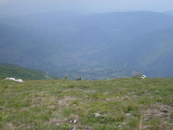
Gravel road leads to the top. Trail to Visegrad provides beautiful views.
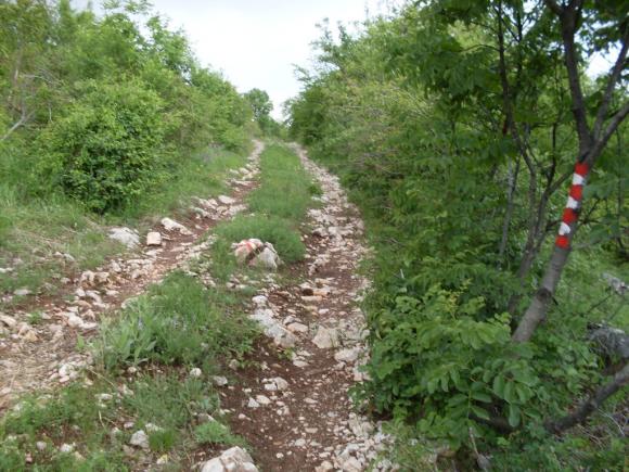
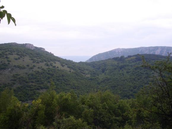
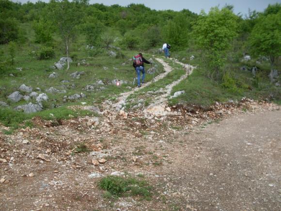
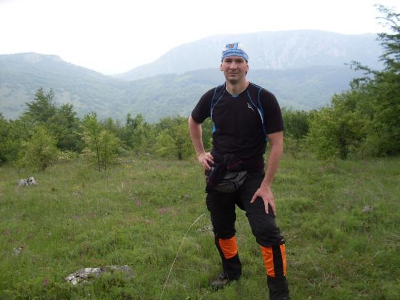
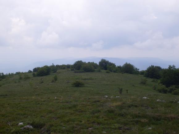
Path is marked very well. After an hour and a half of walk, you are at Visegrad (1040 m). On the left side of Visegrad, is the top called Gradac.
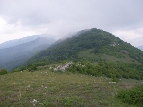
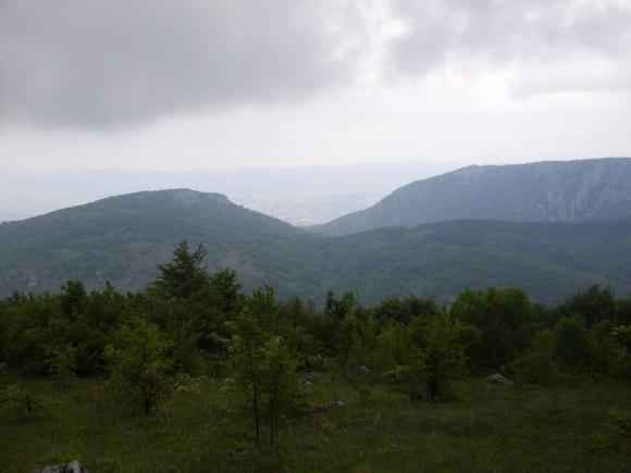
Visegrad – a view at Gradac
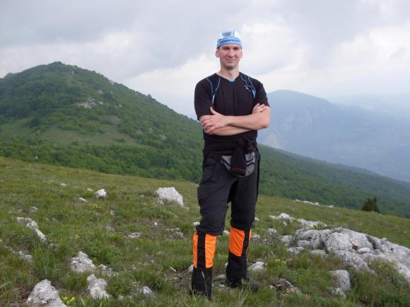
Visegrad
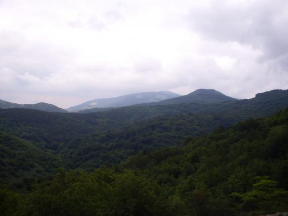
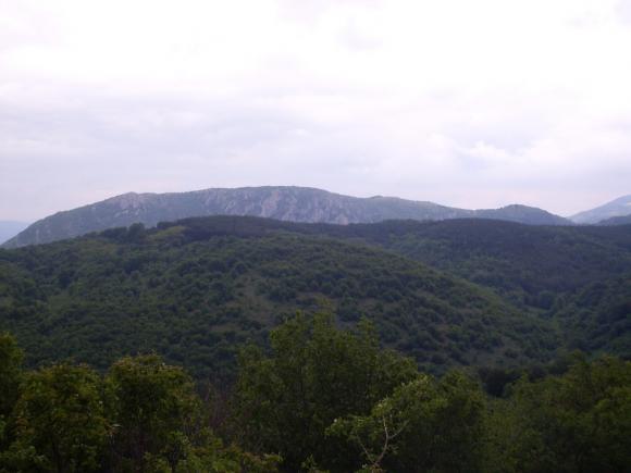
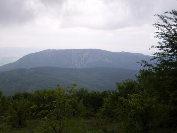
Right in front of Visegrad is a ridge of Suva planina. You can clearly see its highest peak, Trem (1810 m).
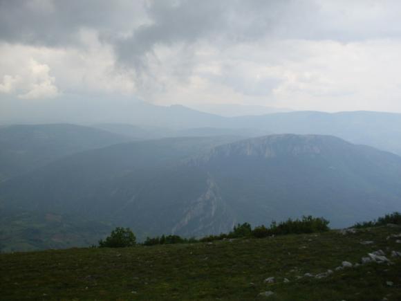
A view at Trem
This is a nice tour for the beginners. You need to overcome an altitude difference of 460 m, which is quite OK, if you just have started with mountaineering adventures.
May 2012.
")

")
-
Recent Posts
Blogroll
 Srbija na dlanu
 SVETOGORSKE TURE
 Jooble