TARA (Zboriste 1544 m)
Tara is certainly one of the most beautiful mountains in Serbia. And one of the biggest. Tara has a lot of peaks and lookouts, so you will never be bored. All routes are well marked, there is no chance to go astray.
From Belgrade, the road to Tara goes via Valjevo, Rogacica and Bajina Basta. That is approx. 180 km, or about 3.5 hours of drive. Before you enter Bajina Basta, stop near the sign “Kuća na Drini” and enjoy the view.
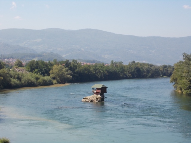
House on Drina
In Bajina Basta, follow the signs for Perucac. In Perucac, visit the river Vrelo, which is also called Godina (the Year), because its length is only 365 meters.
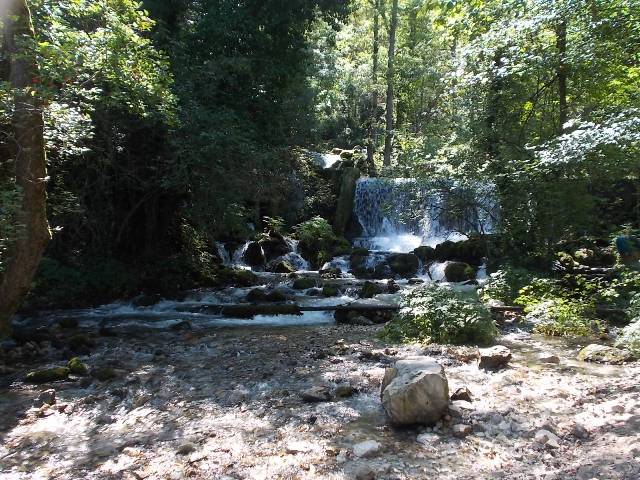
River Godina
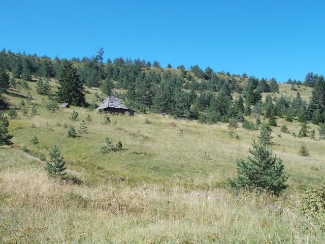
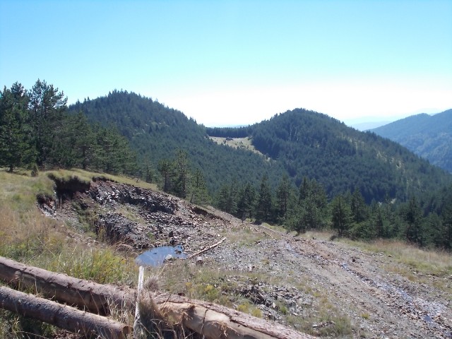
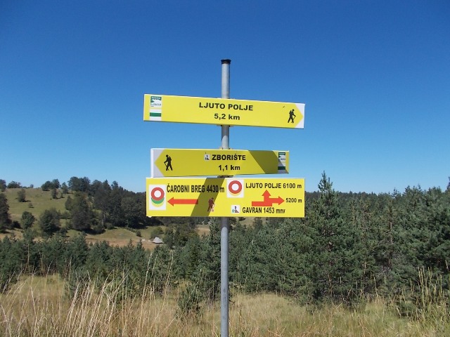
After Perucac, turn left, toward Mitrovac. Mitrovac is a well known resort and it is located at 1024 a.s.l. From Mitrovac, drive toward Zaovine and after 2 km stop at Krnja Jela. From this place, a path leads to Zboriste (1544 m), the highest peak of Tara on the Serbian side. The highest peak of Tara is in Bosnia and it is called Veliki Stolac (1673 m).
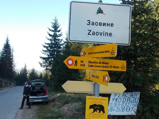
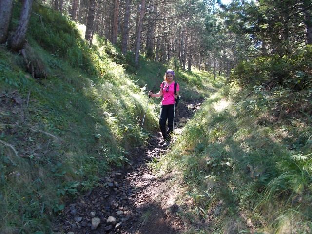
Krnja Jela
If you walk to Zboriste below the top called Gavran (Raven,1453 m), you will hike for about 2 hours and 40 minutes. It is better to return by that way. The path we hiked is 3.5 hour long and goes through the village Sekulici, Ljuto polje and Milosevac. This trail is rich in beautiful landscapes and it is certainly worth the effort and it is not strenuous.
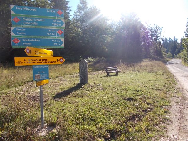
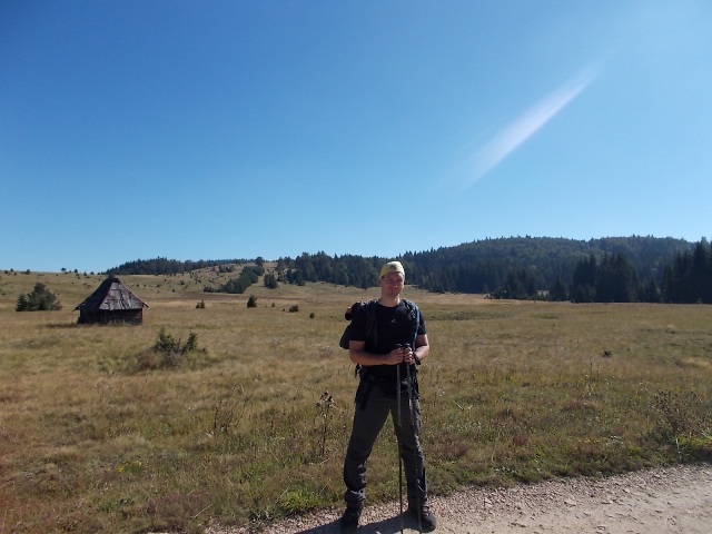
Tankosin grob
In the village of Sekulici is a nice church, which is dedicated to Serbian tsar Lazar. From this village, you can see lake Zaovine.
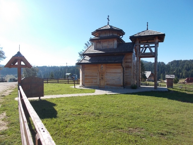
Sekulici
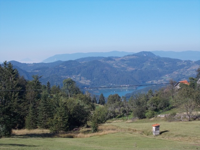
Lake Zaovine
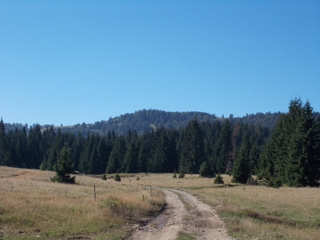
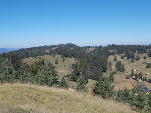
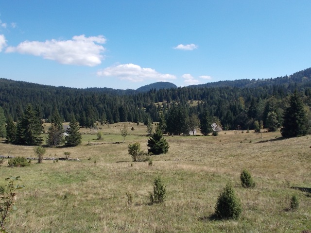
Soon you will come to Ljuto polje, where you can see all the beauty of Tara mountain.
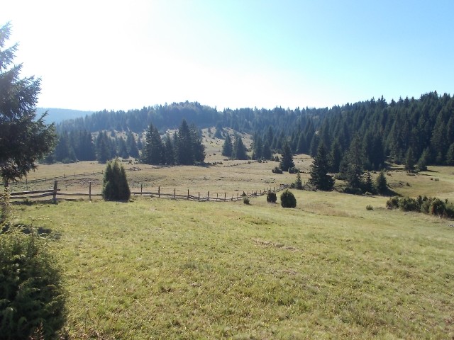
Ljuto polje
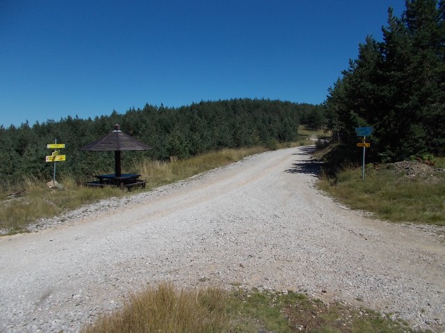
The trail is marked very well and at all the time you are on a gravel road. However, at the site where two beer bottles are fixed on tree (you will easily spot it), carefully watch the markings, I took a wrong turn!.
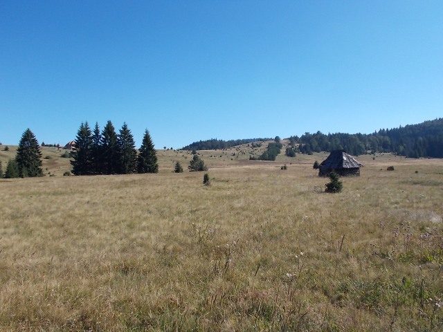
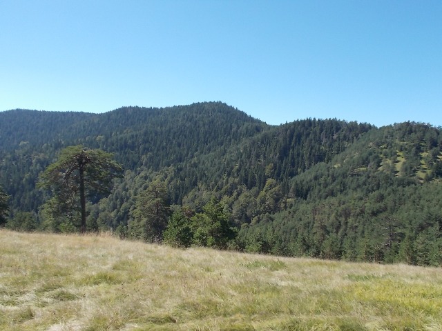
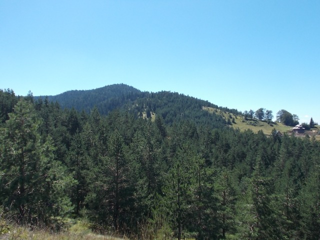
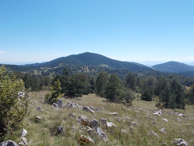
Soon you will reach the ridge of Milosevac and, a little later, the crossroad below the top. From here you can see the top of Gavran (1453 m).
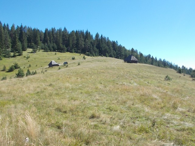
A view at Gavran
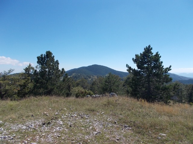
A view at Zboriste
At this junction, go left and up, into the woods, the gravel path ends here. In less than half an hour, you will reach the top. View from Zboriste is not very nice, you can not see much. If you go a little bit forward and 20 meters down, you may have some sight.
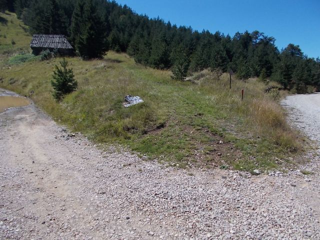
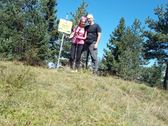
Zboriste
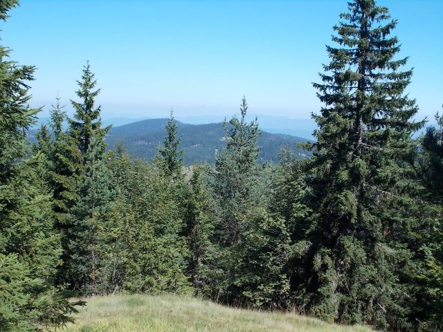
A view from Zboriste
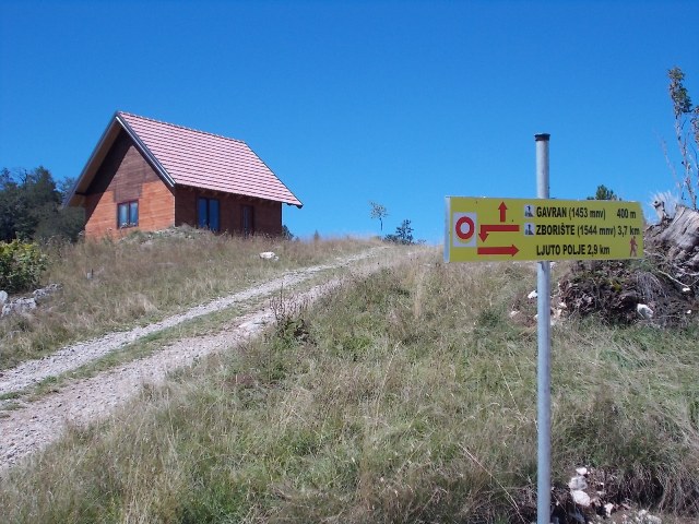
Go back by the forest path to the intersection at the gravel road. Here is a guideline for Gavran, which can confuse you. So, when you find yourself on a gravel road, go right, by the path you came to Zboriste and continue to follow the gravel road, following the signs to Gavran.
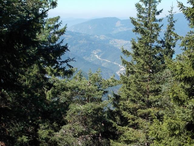
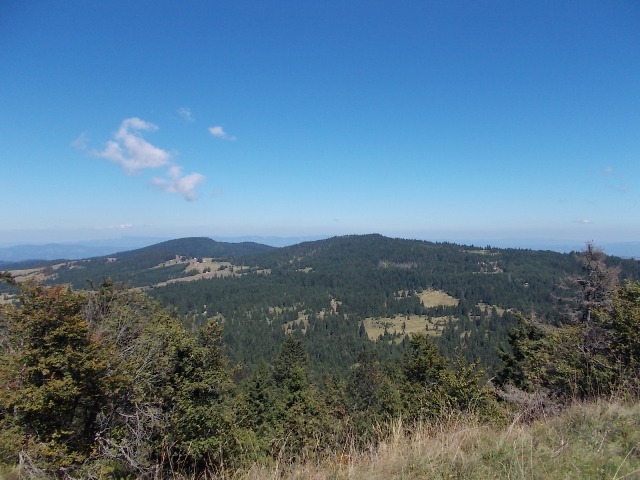
After 30 minutes of walk, you will reach Gavran. The view is much nicer than from Zboriste, so it’s worth to return this way back. From Gavran you will see Montenegrin mountains, gradually listed. Unusual sight!
Zboriste-the highest peak of Tara
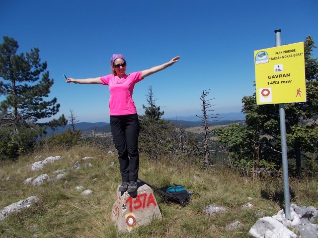
At Gavran
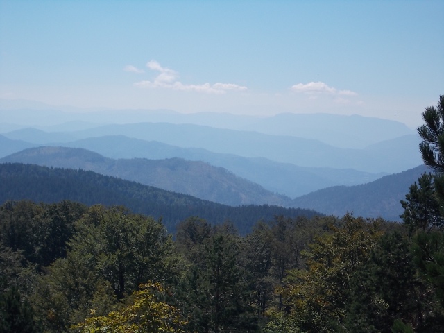
A view at Zboriste from Gavran
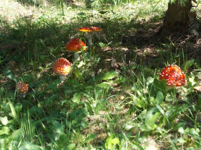
From Zboriste to Mitrovac, by the path that leads below Gavran, you will need about 2.5 hour of walk. Along the way, you will see more natural beauty of Tara, like these mushrooms, that seemed to come out of some children’s picture book.
August 2016.
")
")

-
Recent Posts
Blogroll
 Srbija na dlanu
 SVETOGORSKE TURE
 Jooble